Toggle menu
Freepik
Tools
Create
Edit
Explore AI Suite
AI Image Generator
Create images from words in real time
AI Video Generator
New
Create stunning videos from text or images
Mockup Generator
Bring designs to life, effortlessly
AI Voice Generator
New
Turn text into a stunning voiceover in seconds
Designer
Beta
Edit templates from your browser
AI Icon Generator
Beta
Create icons in seconds with AI
Background Remover
Erase the background from an image
Upscale
Increase resolution and details
Reimagine
Create image variations with AI
Expand
Resize any image filling the gaps with AI
Retouch
Replace details quickly and easily
Image Editor
Edit photos easily online, no software needed
Images
Vectors
Photos
Illustrations
Explore all images
Explore all vectors
Illustrations
Backgrounds
Textures
Patterns
Cartoons
Clip art
Drawings
Symbols and signs
Silhouettes
AI Image Generator
Create images from words in real time
Explore all photos
Business and marketing
Lifestyle and wellness
Nature
People and emotions
Food and drinks
Education and learning
Sport
Industry and technology
AI Image Generator
Create images from words in real time
illustrationsAll
Explore illustrations
AI hub
Icons
Explore all icons
Black filled
Hand drawn
Black outline
Lineal color
Flat
Gradient
AI Icon Generator
Create icons in seconds with AI
Videos
Explore all videos
Backgrounds and others
Nature
Travel and places
Business and technology
People and emotions
Events
Food and drinks
Sports
AI Video Generator
Create stunning videos from text or images
Templates
Explore all templates
Logo maker
Poster maker
Flyer maker
Business card maker
Resume maker
Banner maker
Designer
Edit templates from your browser
PSD
Explore all PSD
Stationery
Social media
Greeting cards
Flyers
Business cards
Posters
Invitation cards
Banners
Logos
Mockups
New
Explore all mockups
Apparel
T-shirt
Devices
iPhone
Print
Books
Packaging
Business card
Mockup Generator
Bring designs to life, effortlessly
More
Our squad
Magnific
Upscale and transform images like magic
Slidesgo
AI Presentation Maker
Enhanced solutions
API
Solutions to enhance your enterprise
Sell content
Join Freepik’s contributors and cash in your creations
More content
3D
Realistic, pre-rendered images in FBX and OBJ files
Fonts
Free fonts for book covers, merchandise, magazines...
Tunes
Curated music and voiceover generator
Apps and plugins
Freepik for Figma
Images for your Figma projects
AI Figma plugin
Generate your own unique AI images directly in Figma
Pricing
Freepik
Search by image
Advanced search
Search
Edit
Variations
Generate video
4000px x 3000px / EPS, JPG
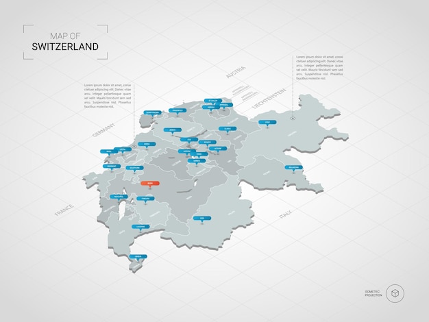
Isometric India map. Stylized map illustration with cities, borders, capital, administrative divisions and pointer marks; gradient background with grid.
molokowall
Follow
Premium vector
License
Premium
More info
country map
map
atlas
india map
geographic
geography
topography
worldmap
country
world
location map
infographic map
location
india
isometric map
india travel
national
education infographic
travel world
isometric
travel
educational
You might also like
Premium
Discover similar
Discover similar
Discover similar
Discover similar
Discover similar
Premium
Discover similar
Premium
Discover similar
Premium
Discover similar
Premium
Discover similar
Discover similar
More from the author
See all
Premium
Discover similar
Premium
Discover similar
Premium
Discover similar
Premium
Discover similar
Premium
Discover similar
Premium
Discover similar
Premium
Discover similar
Premium
Discover similar
Premium
Discover similar
Premium
Discover similar